


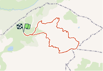

11.9 km | 19.7 km-effort

User


FREE GPS app for hiking
 SityTrail
IGN / Geographical institutes
SityTrail World
The world is yours!
Trail Walking of 9.8 km to be discovered at Auvergne-Rhône-Alpes, Upper Savoy, La Clusaz. This trail is proposed by djeepee74.
BOUCLE... live 20210815
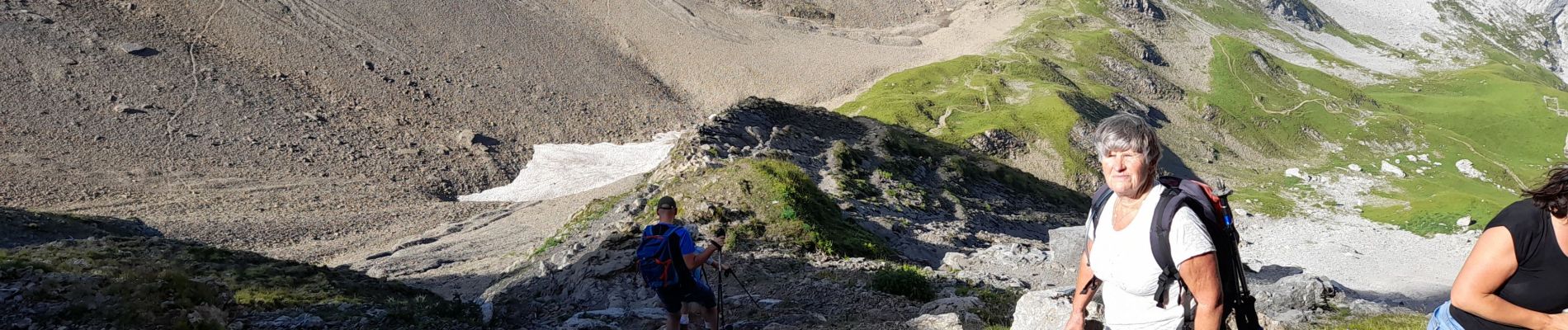
Montée par la Combe de Paccaly... Descente par la Combe du Grand Crêt.
La montée du passage du Père ne pose pas de difficultés particulières par temps sec.


Walking

Walking

Touring skiing

Mountain bike

Mountain bike

Mountain bike

Walking

Walking

Mountain bike